Officials weigh Montana-Idaho border line move
It literally takes an act of Congress to move the boundary of one of the United States.
The last time was in 1961 when a small divison between Minnesota and North Dakota was adjusted.
However, it seems that this process was bypassed on Interstate 90 at Lookout Pass when the highway was constructed and has been that way since.
Denley Loge, House District Representative 14 and a rancher in St. Regis, has poked the bear long enough to have this corrected.
“The boundary (Idaho and Montana) was a natural drainage at the summit but when the excavation work was completed, there was a man-made drainage instead and it stretches about 800 feet into Montana,” he explained. “That’s what Shoshone County (Idaho) is taking as the state line. Whereas the old drainage was the original and official state line.
"Somehow, someone(s) moved the boundary into Montana about 800 feet which may sound trivial, but when stretched out lineally, it adds up to be between 13 and 40 acres. And that is a big chunk of the ski area who have been paying their property taxes to Idaho."
Maps show the historic state line, established in 1905 by a Government Land Office survey, some 1,000 feet down the Idaho side of the I-90 overpass.
The state of Idaho and Shoshone County use a different map for tax assessment. That map shows an irregular boundary up to the interchange’s western on-off ramps. This large looping line happens to include a few of the Lookout Pass Ski Area buildings.
Lookout Pass Ski Area is near the middle of a six-year expansion and one can visibly see new ski runs, towners and chairlifts on the Montana side.
Much of the ski area is on National Forest. Mineral County receives Payment in Lieu of Taxes (PILT) due to the massive amounts of federal land to help offset the costs the county misses out on due to non-taxable businesses and private property.
“There are different categories in the PILT system and when you have a ski area in your county, the pay is quite a bit higher," Loge said. "That’s why we are losing money now, but even more than regular timberland because of this disputed boundary.”
Several years ago, Mineral County had a survey taken to see if there was a case to be made, and there was. But due to the red tape and changeover of elected officials and personnel in organizations to put this issue to bed, it fell through the cracks.
However, more growth is coming with rumblings of condominiums and other amenities, so Loge and others feel this needs to be settled now before things could heat up and get ugly.
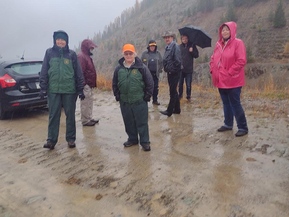
On Friday, Oct. 29, Loge organized a ‘field trip’ to bring the decision makers to the table to resolve an issue he has battled for over 25 years.
In a monsoon shower on the Montana/Idaho border, Carolyn Upton, Regional Forester for the Lolo National Forest, Carole Johnson, Superior Forest Ranger, Andy Short, Mineral County Planning, the three Mineral County Commissioners, including Laurie Johnston, Duane Simons and Roman Zylawy; Mineral County Attorney Ellen Donahue, Dan Lapan from the state Department of Revenue and Ron Catlet from Sen. Steve Daines office met, looked and discussed for themselves what has been simmering for many, many years with no action being taken.
Representatives from the Bureau of Land Management, Sen. Jon Tester’s office and the Shoshone County Commissioners were invited but could not attend.
No one from the Lookout Pass Ski Area joined because the boundary line doesn’t involve them as they pay taxes to whomever they are told to do so.
Loge showed everyone as best as he could though the low clouds, the areas that were the original boundary and pointed to where at least one marker remains. The others disappeared when the mountain was being developed.
The decision from the parties involved was to go back to their constituents and draft letters to elected officials in Washington as the next step in the process, because nobody has faced this before and know one knew what the next step should be.
But it was decided that this time, follow though in a timely manner was paramount.

