Stakeholders discuss future management at Fish Creek
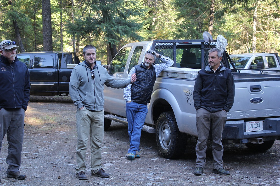
Randy Arnold, Montana Fish, Wildlife and Parks Regional Supervisor (second from left) meet with stakeholders at an unmanaged camping site on Fish Creek. Authorities are looking at the future use of the area and what people feel will be needed. (Monte Turner/Mineral Independent)
About three dozen people participated in a 3-hour field trip of Fish Creek to collaborate on ideas, brainstorm, strategize and leave with a better understanding of what Fish Creek means to organizations, recreationists and landowners when it comes to its future.
Since the pandemic, the use of this area skyrocketed and issues have come with its discovery that are being addressed now, rather than in reactionary mode. The Fish Creek Recreation Planning process was hosted by Montana Fish, Wildlife and Parks, with representatives from the Forest Service, Mountain Bike Missoula, Mineral County Resource Coalition, Clark Fork Coalition, DNRC, Bitterroot Advisory Council, The Great Burn Conservation Alliance, HD 14, a big game hunting guide, Back Country Hunters and Anglers and several local landowners all who have a vested interest in one or more ways, plus the team from the University of Montana that is leading this expedition.
The field trip was one of many opportunities for stakeholders to engage with FWP and share their input as the agency conducts a planning process to create a wholistic and integrated roadmap for managing current and future recreational use in Fish Creek.
“We’re in the stage right now of engaging with different stakeholder groups,” explained Charles Besancon, Director of Global Park Solutions (GPS), who is the lead planner for the project working with the UM to assist FWP. “There’s going to be a point soon that we will be talking to more individuals that are not affiliated with a group. We’re gathering input from as many sources possible who have a vested or tertiary interest in the future of the Fish Creek watershed.”
The University of Montana has hired GPS to lead this excursion. The Big Pine fishing access in Fish Creek State Park was the rendezvous point with good reasons.
“Many meetings have taken place already in offices and board rooms but it’s one thing to talk about a place that most people have been to but may not have been to every single location. So, this setting was for all involved to come out and look together and hear people’s perspectives,” shared Besancon. “There have been people who want to use a campsite that will hold 30 tents and campers and then those who want to have solitude at their campfire ring. Different users have different expectations and desires for their visitor experience. There is no ‘average visitor’. Most users, we think, are in the middle so we need more input to streamline the process we feel that will be most beneficial to the recreationists while protecting the natural resources from overuse.”
Discussions started with landowners having suggestions for signage to warn drivers during winter that the road isn’t plowed. There has been a recent winter death and several Search & Rescue missions as navigational equipment makes it look like a short cut to Highway 12. Snow is not plowed and people become stuck and the trek back down the road for assistance is dangerous when there is zero traffic and freezing cold temperatures.
Another noted the garbage. Locator signs on incognito roads for weddings, social gatherings, a gender reveal celebration, 3-class reunions were all left on trees or littered with cans and paper utensils at the sites and along the roadway.
A dispersed campsite inventory recently taken by a UM graduate student unveiled about 75 random campsites, or unregulated sites. These are not illegal but over time erosion develops, wood gathering for campfires damages the underbrush and garbage becomes an issue along with human waste where "TP flowers" flourish.
“Same mission, different approach,” is how Hope Stockwell, administrator of the newly configured Parks and Outdoor Recreation Division at FWP, described the project. “As we look at planning, we want to take recreation management and make it holistically addressed in the future so that we are not just looking at recreational use but we’re looking at the resource impacts that come with that so that we’re interfacing with fisheries, wildlife and doing this together. This Fish Creek opportunity planning on the watershed level is really our first foray into this more holistic look into working together in one package.”
The paving of the Fish Creek Road was discussed with many stating the obvious that more traffic and usage will occur if that happens. Dust mitigation is needed but for everyone to think about the use it already has and what will happen if it becomes easier to travel to Highway 12. It was noted that the closer to I-90, the more recreationists use the area but it becomes wilder the farther one drives. More primitive and private the farther people go west and that is something they want to preserve.
From the original usage plan developed years ago, Whitetail Flats was thought to be a good campground development area for its proximity to I-90 with a road structure already in place for a large, but semi-private, camping facility. The group made this tour as their last stop of the day where concerns developed because of the remarkable habitat it has for ungulates. It’s also the area that a grizzly spent about a month a year ago which speaks volumes to the future of the area.
This information gathering process is not being rushed. More opportunities will be available to voice opinions and concerns. Comments are being solicited by contacting Travis Anklam, Center for Natural Resources & Environmental Policy, University of Montana travis.anklam@umt.edu or (406) 529-2066.